


Here’s what you need to know about the severe weather forecasted for Johnson County on Tuesday
The National Weather Service has predicted rain and possibly severe thunderstorms to pass through Iowa City and Coralville on Tuesday.
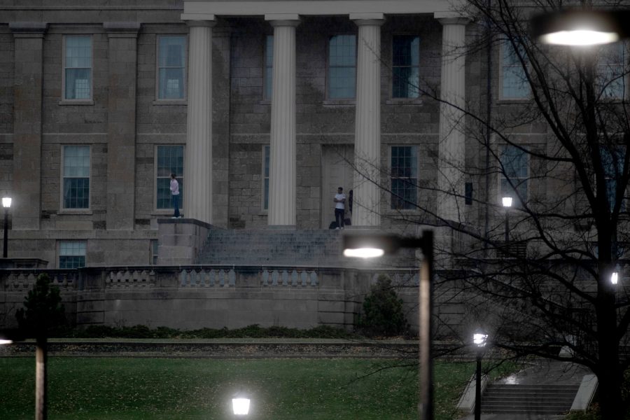
Students look at the sky during stormy weather on the Old Capitol steps in Iowa City on Sunday, March 31, 2023.
April 3, 2023
After severe storms swept through Iowa last week leaving areas of Johnson County in disaster, more severe weather is expected Tuesday from late-afternoon to around 10 p.m.
According to the National Weather Service, Johnson County residents can expect to see rain between 3 p.m. and 4 p.m. on Tuesday, and a larger chance of rain and thunderstorms after 4 p.m. The NWS also warns that any of these thunderstorms could be severe.
“Strong long-tracked tornadoes, damaging wind, and large hail are possible, especially during the afternoon and evening,” the National Weather Service severe storm announcement states.
Most of the thunderstorms and rain are expected to pass through the Iowa City and Coralville area in the evening on Tuesday.
High winds can also be expected with gusts passing through at a possible 40 mph and the storms are projected to be moving between 50 and 70 mph.
Live Updates
2:50 p.m.
The National Weather Service has issued a tornado watch for a number of counties in Iowa, including Johnson, Linn, and Polk, until 10 p.m. on Tuesday.
A tornado watch means tornadoes are likely in and near the areas under the watch, according to the NWS.
Monday, 5 p.m.
Iowa City Public Safety tweeted Monday warning residents of the severe weather.
“Now is the time to plan for where you and your loved ones will seek shelter if bad weather hits,” the tweet said.
With the potential for severe weather on the horizon tomorrow, now is the time to plan for where you and your loved ones will seek shelter if bad weather hits. pic.twitter.com/i8QYrjO3eK
— Iowa City Public Safety (@ICPublicSafety) April 3, 2023
4 p.m., 4/3/23 NWS update: https://t.co/krv9FeB9dA
— Iowa City Public Safety (@ICPublicSafety) April 3, 2023