


UI Iowa Flood Center develops real-time flood information system
The University of Iowa’s Iowa Flood Center has developed a free, web-based information system, the Missouri River Flood Information System, to aid communities around the Missouri River to assess flood risk around their homes and businesses.
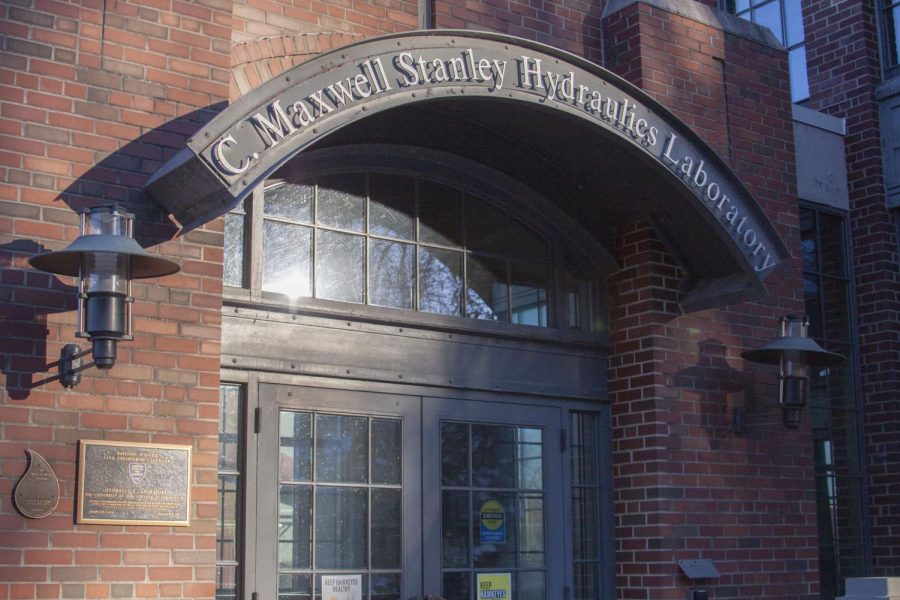
The outside of the University of Iowa Flood center is seen in Iowa City on Thursday, Jan. 20, 2022.
January 20, 2022
The Iowa Flood Center at the University of Iowa has developed a highly interactive, nearly real-time system to help business owners, homeowners, and farmers prepare for and prevent future flood risks.
The Missouri River Flood System, launched in December, is the culmination of already existing federal models and is intended to help alleviate the stress and uncertainty seen during two highly destructive flooding events along the Missouri River in the 2010s.
Larry Weber, co-founder of the Iowa Flood Center and principal investigator on the development of the project, said that a lot of people in the affected communities said they were aware that the flood was coming, just not to what extent it would affect them.
“Millions or tens of millions of dollars of property were lost or damaged because the information simply wasn’t good enough,” Weber said. “We felt we could do better.”
Weber said the information system was built on a Google Maps platform, allowing users to look at projected water levels around their property or business. Weber said this increase in information translates to higher individual preparedness in the event of a flood.
“They will automatically know, for that flood, they need to protect their home against four feet or their business against six feet of water,” Weber said. “[They can] then make the appropriate decision to manage things.”
The 2019 flooding along parts of the Missouri River caused an estimated $2 billion in crop damage to farms in Iowa. Weber said while it’s difficult to protect crops against these floods, other important things can be protected.
“We can protect personal well-being and life,” Weber said. “We can have businesses and industries more well-prepared for floods.”
Daniel Gilles, Iowa Flood Center water resources engineer, was involved in developing the flood modeling used by the information system. He said the developments in the technology and forecasts used in this system provide an advanced look at real-time flood forecasts.
The maps on the Iowa Flood Information System are currently canned, Gilles said, meaning the information was calculated beforehand and fed into the system by hand to calculate potential flooding.
He said the center is hoping to integrate the real-time system developed for the project back into the Iowa Flood Information System.
“At any point along a stream, you can say, this many cubic feet per second of water are passing this point in the river,” Gilles said. “We’re using that as simulating water depth along these streams and then creating maps of forecasted river stages for the next ten days or so.”
Gilles said the information system was important to develop because of the increasing uncertainty of flooding and other natural events as a result of climate change.
“Just in the past few decades, we’ve noticed changes in the intensification of rainfall and more flooding,” Gilles said. “The 100-year flood isn’t the 100-year flood anymore.”
The Iowa Flood Center’s development of this easily accessible representation of flooding forecasts, Gilles said, was one of the first of its kind when the center developed the Iowa Flood Information System.
He hopes the development of this Missouri River Information System will lead to more prevalent, real-time public flood information systems across the country.
“We’re hoping to kind of expand off of what we’ve done with this most recent project and push the bar [for other institutions] that much higher,” Gilles said.
Kate Giannini, Iowa Flood Center program and communications specialist, coordinated with external partners and grant administrators on this project.
“Our role in this was really to do the flood forecasting and analyzing flood risk, communicating that in an easy-to-use online format,” Giannini said. “My role is to coordinate with all the partners that are involved and serve as the liaison between researchers and engineers are doing here at the University of Iowa.”
BNIM is the company putting together a comprehensive plan to work with organizations in the affected areas which will be released at the end of January, Giannini said.
She said the research and development conducted by the Iowa Flood Center helped direct a lot of decision-making and the goals outlined during BNIM’s outreach to the communities such as Hamburg and Pacific Junction in Iowa.
“Our role was really integrated into their work,” Giannini said. “All that work that the Flood Center team and the researchers and engineers did is informing the goals and strategies going forward.”
Editors note: An earlier edition of this story included a photo of the University of Iowa’s powerplant instead o the Hydraulics Laboratory. The Daily Iowan regrets this error.