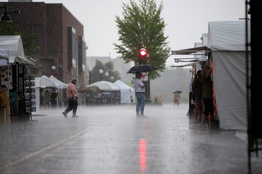
The Johnson County area will experience severe storms and potential tornado conditions on Tuesday night and Wednesday morning.
Predicted storm conditions during this time include risk for severe thunderstorms, extreme wind speeds, large hail, and tornadoes for eastern Iowa, northwest Illinois, and northeast Missouri.
According to the National Weather Service website, there will be a minor risk of severe storms starting on Tuesday morning between 2 a.m. and 8 a.m. There is also a risk of large hail occurring during this time, and wind speeds may reach up to 35 to 40 miles per hour.
Storm severity is expected to pick up on Tuesday afternoon between 2 p.m. and 9 p.m. in the Quad Cities and Cedar Rapids area. The severity is predicted to be a level three threat, which means there is a chance for numerous severe storms, according to the National Weather Service.
The strongest thunderstorms are predicted to occur on Tuesday afternoon and evening with wind speeds of 40 to 55 miles per hour. Supercells, which are weather systems that can create hail or tornadoes, could also occur during this time.
Storms are predicted to continue into early Wednesday morning at around 4 a.m. At this time, there may still be a chance of large hail, damaging winds, and tornados.
Similarly severe storms occurred around the same time last year. In March 2023, several tornadoes hit Johnson County and caused extensive damage in Solon, Hills, and Coralville. Over 2,000 residents in this area were left without power for around two and a half hours.
Last year’s storm also caused extensive property damage, including downed power lines, flipped cars, and stripped walls from homes and businesses. Wind speeds during this storm reached as high as 40 miles per hour.
The National Weather Service recommends taking precautions before major storms. The organization’s website states to adjust plans, make sure devices such as phones can receive weather alerts, and ensure the shelter from the storm is clean and accessible.
On the day of the storm, individuals should have a storm preparation and evacuation plan, and stay vigilant of local severe storm and tornado watches and warnings, the website states.


