


UI professor uses satellites to improve earthquake response
UI professor William Barnhart is using satellite imagery to provide valuable information to earthquake responders quickly and accurately.
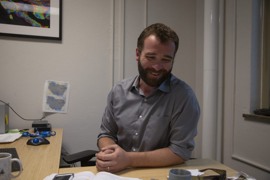
University of Iowa professor William Barnhart sits in his office located in Trowbridge Hall on Friday, June 28, 2019. (Emily Wangen/The Daily Iowan)
July 1, 2019
When a devastating earthquake strikes, the damage can be difficult to assess immediately. New research is applying satellite data to provide respondents with a more accurate picture of when and where an earthquake occurred.
William Barnhart, University of Iowa assistant professor of Earth and Environmental Sciences, along with researchers at the U.S. Geological Survey, published a study demonstrating that satellite monitoring of seismic activity can help earthquake responders get more detailed information about particular earthquakes.
Barnhart said the first thing responders want to know is where an earthquake is and how large an earthquake is – something satellites can help with.
Barnhart’s work detailed 35 different earthquakes that were analyzed using satellite imagery. The study, titled “Global Earthquake Response with Imaging Geodesy: Recent Examples from the USGS NEIC,” was published in the journal Remote Sensing.
“[When] you have an earthquake somewhere you want to know how many fatalities to expect, what’s the cost going to be, what’s the financial impact going to be – the very first thing you need to know is where was the earthquake, how big is the earthquake,” he said. “Then you need to know how close was the earthquake to major or minor population centers – how likely are those cities to me damaged by an earthquake?”
Barnhart said the USGS typically releases its first estimates of an earthquake happening within an hour, and the satellite imaging can take a few days.
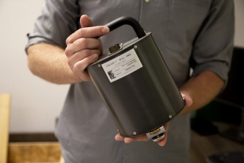
University of Iowa professor William Barnhart holds a seismometer in his office located in Trowbridge Hall on Friday, June 28, 2019. (Emily Wangen/The Daily Iowan)
Gavin Hayes, a USGS researcher and a co-author of the study, said the satellite imagery has the potential to shorten this time scale. Hayes said satellite imagery of an earthquake previously took 14 to 17 days. Now it can take as little as two to four.
“There are lots of opportunities, especially now that we’re putting more satellites in the sky,” Hayes said. “We have lots of opportunities to get data much more rapidly than we ever have before.”
According to the study, this research is important in guiding emergency relief efforts after an earthquake.
The study says, “These response products serve several important purposes, such as providing a probabilistic forecast of the societal impacts of the earthquake. Aid organizations and financial decision-makers, for example, then use these projections to guide humanitarian relief efforts.”
Barnhart also had help from former UI student Emma Mankin in developing the satellite models.
Barnhart’s research has been applied to several earthquake situations, including the 2018 Sulawei Earthquake in Indonesia, which triggered a large tsunami. Satellite images were able to determine the earthquake had ruptured 100 kilometers further South than originally predicted.
“The original USGS reports based on seismological model showed it being a relatively low impact earthquake, for what it ended up being,” he said. “Part of the reason for that was that earthquake had some special characteristics to it that are difficult to identify from seismic measurements alone.”
Barnhart says his model accurately predicted the number of fatalities for the earthquake in Indonesia.
Going forward, Barnhart wants to make his satellite research an automatic system housed at the USGS.
“That way it becomes a systematic part of earthquake response work. Right now it’s done on a case by case basis,” Barnhart said.