


Cambus partners with Google Maps to provide trip-planning functions
Riders can now plan their routes ahead of time on Google Maps for the UI’s free public bus service, as well as the Iowa City and Coralville transit services.
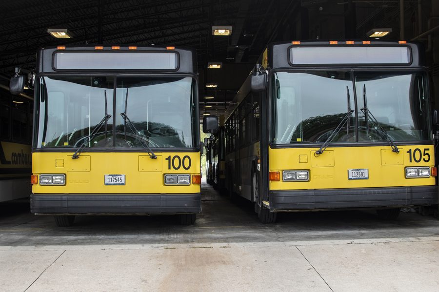
Cambuses are seen on Monday, Oct. 1, 2018.
October 4, 2018
Cambuses have ferried students and others around Iowa City for the past 46 years, but people have never before been able to plan their rides ahead of time. Now, the Cambus system will partner with Google Maps to allow passengers to do just that.
The Google Maps transit feature is fully compatible with the Iowa City and Coralville Transit as well. Users can input their starting location, destination, and preferred arrival time and have Google Maps schedule their ride for them.
Users will be able to customize their selections to prioritize routes with options such as less walking distance or fewer transit stops, according to the Cambus website.
“Bongo is a great tool if you know the system,” said Mia Brunelli, the Cambus operations supervisor. “Google Maps fills in that plug for visitors to the city or people who are new [to Iowa City].”
April Wells, the Cambus communications and marketing manager, said larger areas implemented Google Maps first, and the Iowa City area was one of the last places to incorporate it because of having three bus systems in such a small area. Cambus manager Brian McClatchey said it has been implemented in areas such as Des Moines and Cedar Rapids.
McClatchey said that until recently, Google had been more focused on metropolitan areas for its trip-planning programs. A new initiative by the Iowa Department of Transportation spearheaded the implementation of trip-planning availability to every transit system in the state. Cambus also worked with the transit consulting agency Trillium Solutions.
“[The Iowa DOT] actually came up with some funds and worked with us …” McClatchey said. “[Trillium] provided this assistance in converting our data to the GTFS format. That accelerated our process.”
RELATED: City wants Cambus involved in transit study
The Cambus office started working with DOT and Trillium in 2017.
“Trillium is the middleman between us and Google Maps,” Brunelli said. “We send Trillium our schedules and routes, and then Trillium puts them into Google Maps.”
Brunelli said the new trip-planning service would not replace the Bongo app because they serve different purposes. The Google Maps service is not in real time, unlike the Bongo app, and therefore does not take delays into effect. Also, Bongo does not allow users to plan trips.
Wells said there are still plans to make the Bongo app better in the future, including the possible implementation of planning trips.
“Right now, [they are] two separate functions,” Wells said. “We want to start moving forward with improving the experience for the [people] using Bongo. We hear more and more from students and staff that they really rely on Bongo as their transit tool to get around campus.”
Wells said the transit data from Google Maps would help inform riders about the transit services’ accessibility.
Wells said, because of the large number of people who use the Google Maps service on a daily basis, that more riders will be able to use the trip-planning function.
“[People] may not realize that if they walk a couple blocks, there might be a bus stop close by, or if they’re walking around campus, they might not realize how easy using transit is,” she said.