Johnson County’s road and utility work permit process is undergoing a significant upgrade.
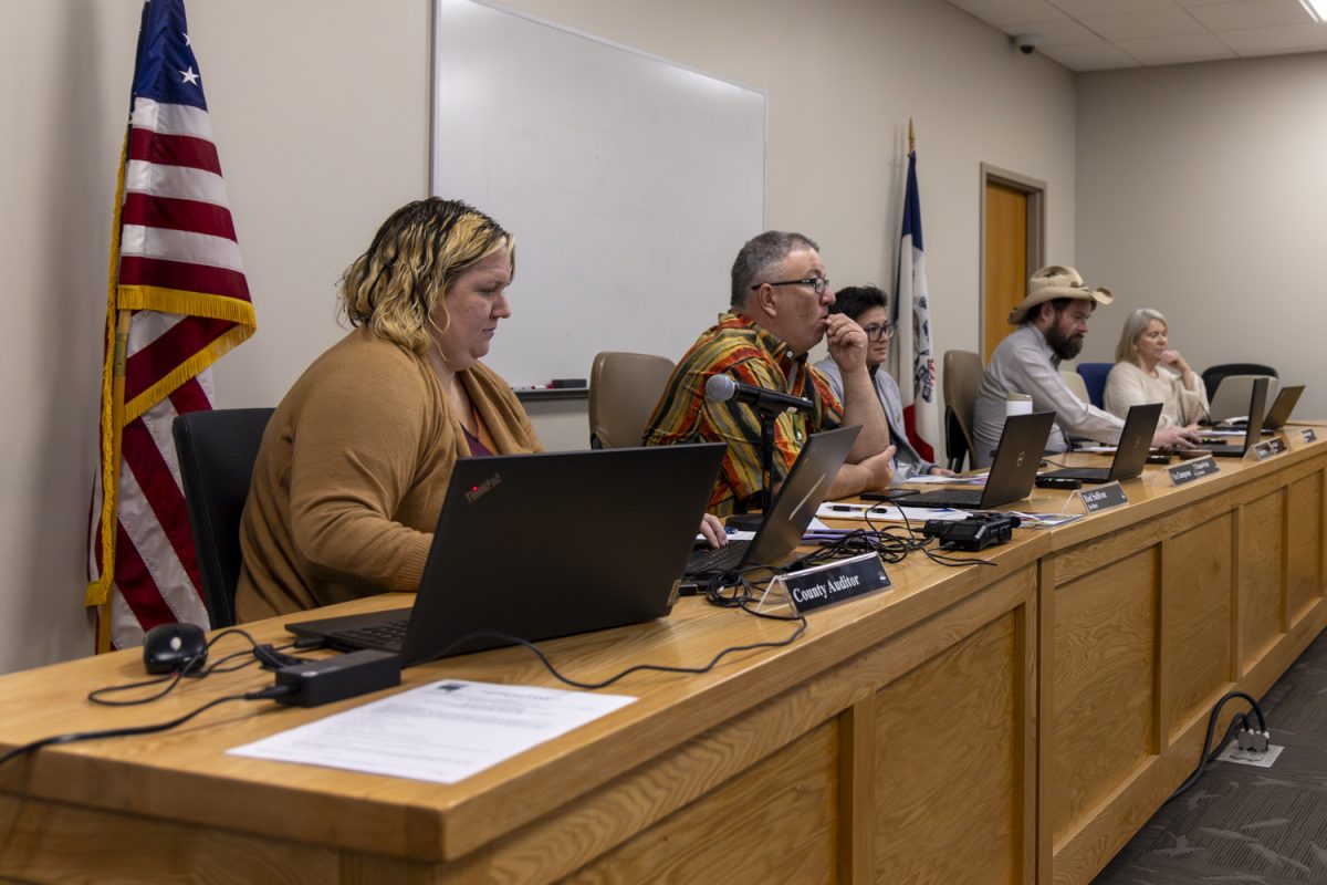
During Thursday’s formal meeting, the Board of Supervisors unanimously approved a $65,532 contract for GeoPermits, an online permitting system for the Secondary Roads Department.
While Johnson County already had an online system, Citizenserve, it came with limitations. The old system couldn’t handle technical needs like mapping road projects or managing permits with multiple departments. The new GeoPermits platform, developed by Schneider Geospatial, aims to solve those issues.
GeoPermits is already used by 21 other Iowa counties. The board hopes it will allow the county to process permits more efficiently. The new system will help contractors submit permits and payments online and give county staff a better way to track and manage road projects using real-time maps.
GeoPermits will be equipped to handle unlimited users and workflows, so multiple departments and contractors can use the system simultaneously without extra costs.
The program also works well with Geographic Information Systems, or GIS, allowing for better planning and decision-making by mapping permit locations along roads.
With GeoPermits, contractors and county staff will be able to submit and approve permits electronically, eliminating the cumbersome process of paper forms and in-person visits.
The new system plans to begin running by fiscal 2026, with a test phase in fiscal 2025.


